
Off to a Good Start on the Hayduke Trail
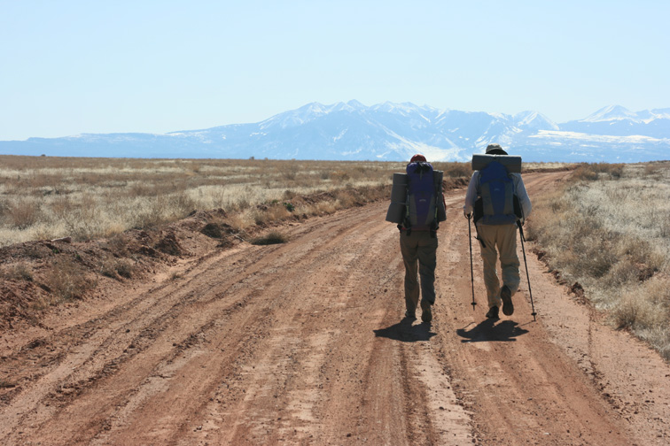
Dave and I had a great first two days on the Hayduke Trail! We hiked through Arches National Park with cool breezes and sunny skies after a first night lit by a full moon.
We are writing from Moab, where we had Mexican food for dinner, long hot showers, and our last rest in a real bed for a while. We leave this morning heading toward Canyonlands with warmer tempuratures on the way.
Dave’s Dad took some great starting pictures (see below) so you can get an idea of what our first chilly day looked like. I also took a few snapshots with my Blackberry and and sent them up to Flickr, which at the moment is easier to connect to via the phone than this website. Here’s the address to see my snapshots – check it now and then because I’ll send up photos whenever I have cell service: www.flickr.com/photos/outsideforever.
Photos by Rich Snowberg
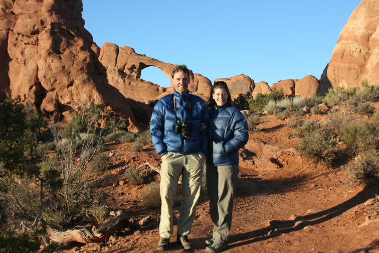
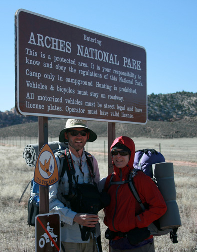
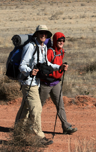
(Photo by Rich Snowberg)
4 comments Post Categories: 2009 Hayduke Trail
Wow, what very tiny packs you have…! Happy trails…
OK, now we’re getting that needed final motivational pulse after seeing that you guys are off and running. Best of luck and hike safely! Leave us a note or two along the way if you want– we won’t be too far behind you.
Whiptail and Caron
Here are some notes I have from doing Chpters 1,2,5 and 6. Maybe they will be of help. Some of this info may already be on other sites.
Chapter 1 – no notes; kind of blah, to me.
Chapter 2 — middle of 10/08.
1. More or less from leaving of road at 19.1 and, definitely, from a little beyond 20.9, when you climb out of the drainage, there is a cattle path, all the way to the dripping spring at 23.6. (It seems like a very few animals — I saw 2 groups of 4-5 each, in the first 20 miles — are having a big impact.) This is not really new information.
2. On the way to the dripping spring, while heading east on the cattle trail and before descending into the drainage past the manmade stone columns, I sighted, near the trail, 2 US Land Survey metal-poles-in-cairns, with plates saying, I think, that they marked the Section boundary (16|15 and 15 – 22), dated, I think, in the 1920s. They do show you where you are on the 7-1/2″ map and are historically interesting, I think, if they are really that old.
3. The dripping spring at 23.6 has changed: the 2 troughs are thrown to the side with a bottom hole in at least one of them; they are no longer in use. There was a brown pool of water that the cattle had been using. The pipe (black hose) was still there with a single, slow drip, so it took maybe 25 minutes to get a liter of clear water. Water was good, just longer to get. There are other drips happening up higher in the rocks and vegetation, so, even if the pipe/hose goes away, one could probably locate a clear drip or at least a drip.
4. There is a 2′ cairn at the top of the climb out of Indian Creek at about 36.5. I’m not sure if it is on the route shown in the book’s map but is nearby.
Chapter 5 — 6/08
There is a new, maybe as yet unused (but full of stale water) solar cow tank and water storage, pump installation on Tarantula Mesa [this was a little stale but very useable; this new tank is right on the road route; we camped by it and it was nice even though an attack on the land]. — the latter looked like it had just been installed but we saw no recent cattle activity around or near it.
Chapter 6 — last 2 weeks of 10/07.
Took 9 days. Lots of water in the washes.
1. There was a nice cairn marking the start of the descent from the old mining track into Middle Moody Canyon on the east side of the Red Slide pass, so your addendum item could be re-written to read:
++from the pass between the Red Slide and Middle Moody Canyon, look for the old mining track on the left side of the drainage that goes down to the west; that’s your target. It can be reached by either side of the drainage [it seemed to me the old track was only on the left side of drainage off the pass], but do not attempt the drainage itself, it’s too steep/loose. You’ll follow that “road” just a short way until you see a shoulder that heads back down to the drainage bottom after you pass the pour off below the part of the road that you spotted from the pass (all the drainages ultimately lead to Middle Moody in this canyon so any doable shoulder will work). In October 2007, a cairn marked the start of the descent to that shoulder.
2. Once in Middle Moody, the easiest way out, I think, and also a possible cache point, is to simply walk north in Moody Creek from the confluence of Middle Moody and Moody Creek (the Trail goes south), rather than up the hanging canyon and then on the old mining road that leads to the road in Moody Creek, as described in the book. I didn’t try to the latter but it looks harder and maybe just as long, time wise.
3. Near the end of the Escalante River portion, maybe 1/2 mile beyond the confluence with Stevens Canyon, there is a cairned, short cut on the right bank of the river [approximate UTM northing of 4141500], climbing southeast to a pass, then off the pass, about west, southwest down into Coyote Gulch. From this very nice pass, one can see the other side, I think, of Stevens Arch than the side seen from the Escalante. The views from the pass are great. On the way down into Coyote Gulch, also cairned, we had to drop and hand down packs once.
beginning of Chapter 2
http://www.intrepidpotash.com/loc/moab.html